Weather & Climate
When the Great Grand Canyon Burned
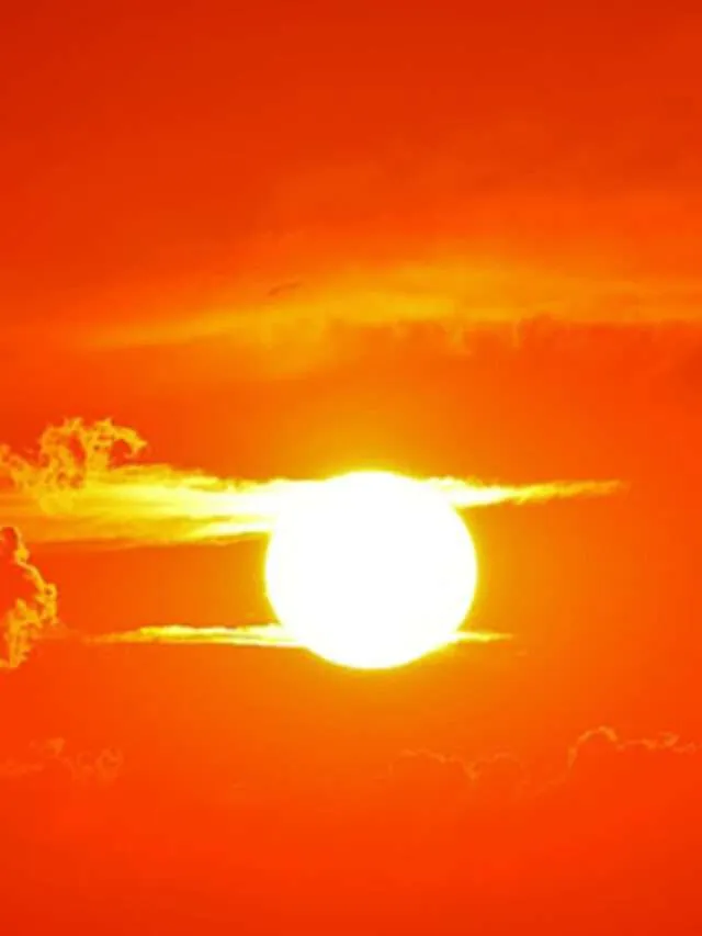
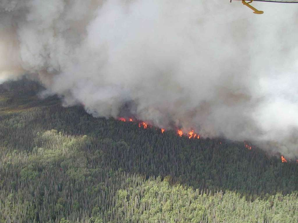
At 3:17 a.m., Mark Jacobs, a 56 year old rafting guide based near Page, Arizona, woke to the faint smell of smoke. By dawn, a thick, ash colored haze had begun to swallow the sky above the Grand Canyon’s North Rim. “It looked like the canyon was breathing fire,” he said. What started as a distant glow had erupted into a wall of flames, racing through pine forests and painting the ancient cliffs in an unsettling orange light.
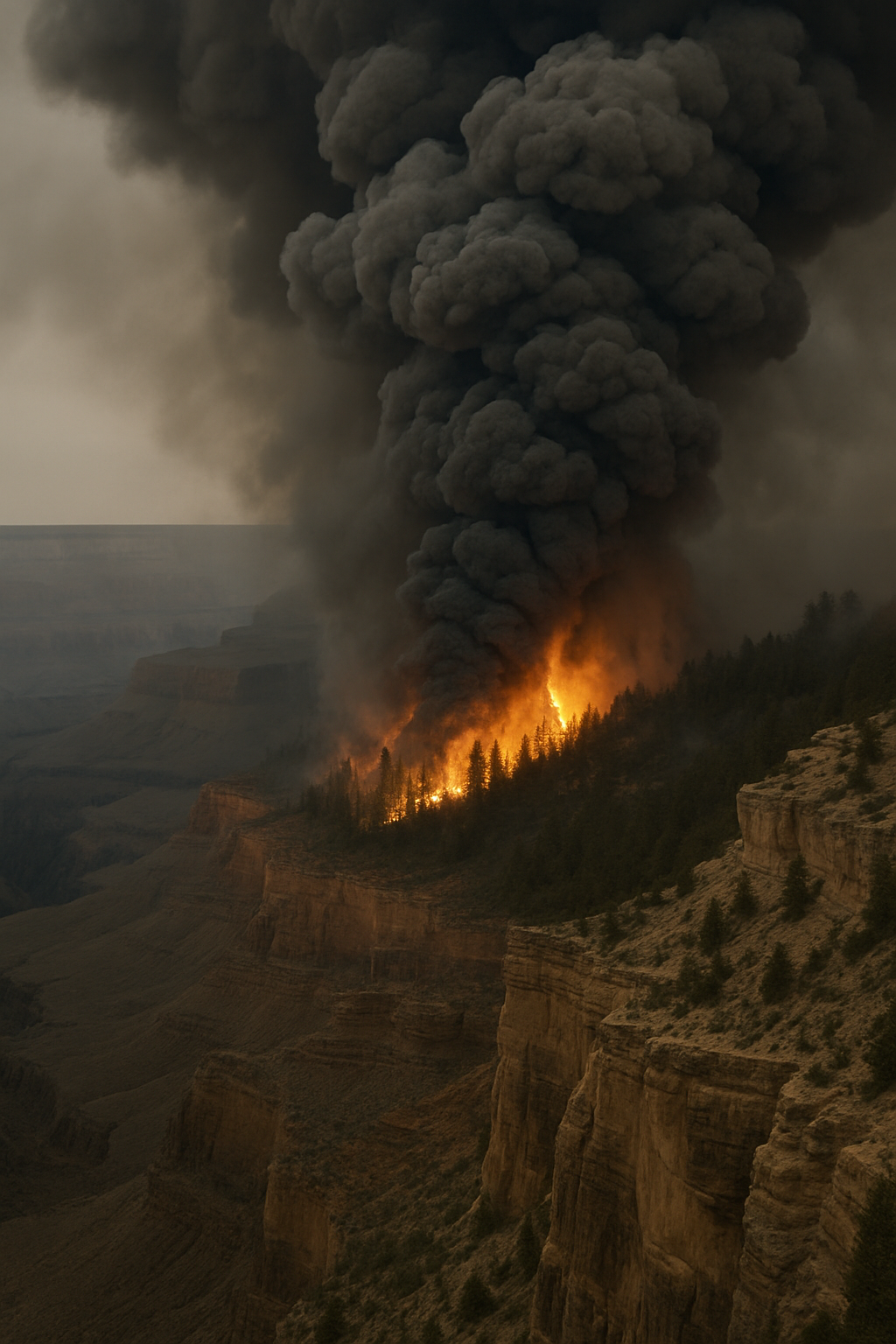
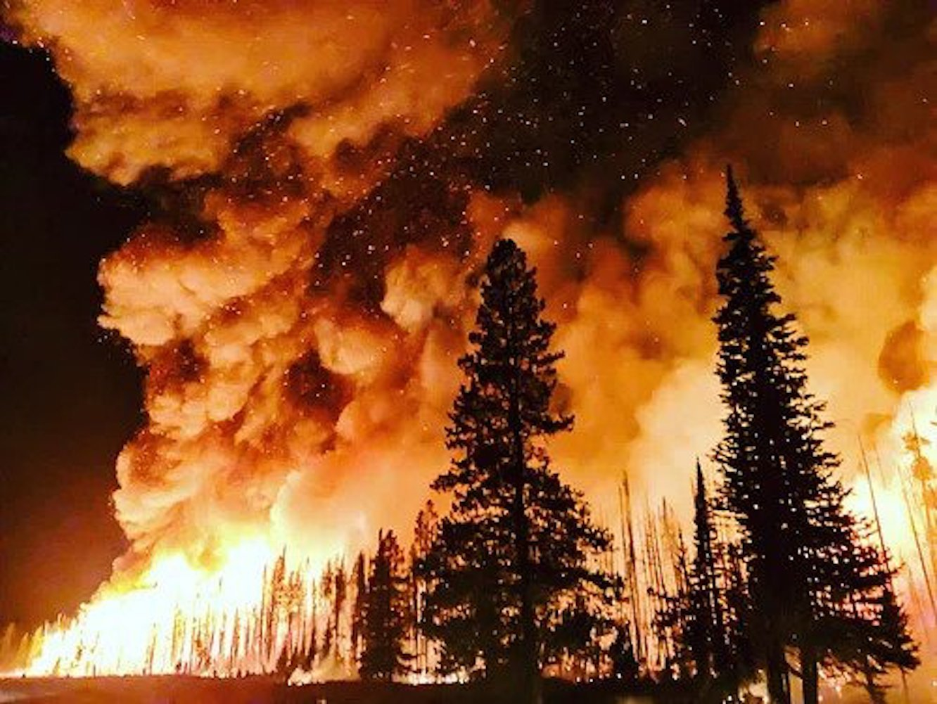
The fire, which officials say began in late July, has already consumed thousands of acres near the canyon’s rim. Fueled by bone dry conditions and unusually high summer temperatures, the blaze has moved quickly through rugged terrain that’s difficult for crews to access. According to the National Park Service, the area is under strict fire restrictions, with certain trails and viewpoints closed until further notice.
From Campfires to Chaos
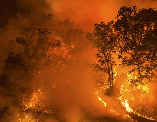
For locals like Mark, wildfire season is nothing new but the scale of this one feels different. “We’re used to the occasional brush fire,” he explained. “But this… this is like the canyon is under siege.”
Firefighters, aided by helicopters and aerial tankers, have been working around the clock to slow the spread. The U.S. Forest Service reports that crews are focusing on protecting critical infrastructure, including historic lodges and popular tourist overlooks.
The blaze has also prompted emergency air quality alerts in nearby towns, with smoke drifting as far as Las Vegas. Residents are being urged to monitor updates from the Arizona Department of Forestry and Fire Management for evacuation notices and safety guidelines.
Visitors Caught Off Guard
Tourists who traveled across the country to see the Grand Canyon have found their plans abruptly changed.
“I had been planning this trip for over a year,” said Maria Lopez, a hiker from New York. “When I arrived, I couldn’t even see the canyon, just this thick, eerie smoke.”
Some travelers have rerouted to the South Rim, which remains open but is blanketed by a smoky haze. Hotels in the surrounding region are offering flexible rebooking policies, while park rangers warn visitors to avoid strenuous outdoor activity during peak smoke conditions.
The Bigger Picture
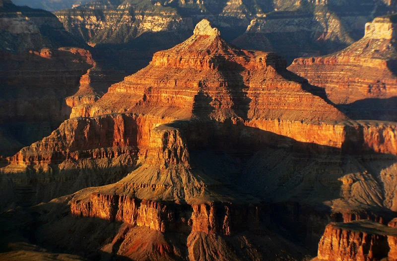
Wildfires in the Grand Canyon region are not uncommon, but climate experts warn that rising temperatures and shifting weather patterns are making them more frequent and more intense. According to NOAA, the Southwest is experiencing longer fire seasons, with flames now spreading into areas historically spared from severe burns.
Holding On to Hope
Despite the devastation, there are moments of resilience. Volunteers from nearby communities are delivering food and supplies to firefighters. Local businesses are raising funds for families affected by evacuations. And for Mark Jacobs, the work on the river goes on albeit with a closer eye on the horizon.
“I keep a Go Bag in my raft now,” he said with a shrug. “You never know. But you also can’t stop living.”
As the fire continues to burn, one truth becomes clear that the Grand Canyon’s beauty is timeless but its future depends on how we face the forces threatening it.
What You Can do Now
If you’re in or near an affected area:
- Monitor official fire updates from the Arizona Department of Forestry and Fire Management.
- Check park closures and safety alerts on the National Park Service Grand Canyon page.
- Track air quality in your region via AirNow.
- Sign up for emergency alerts from the National Weather Service.
It Starts with a Change in the Air
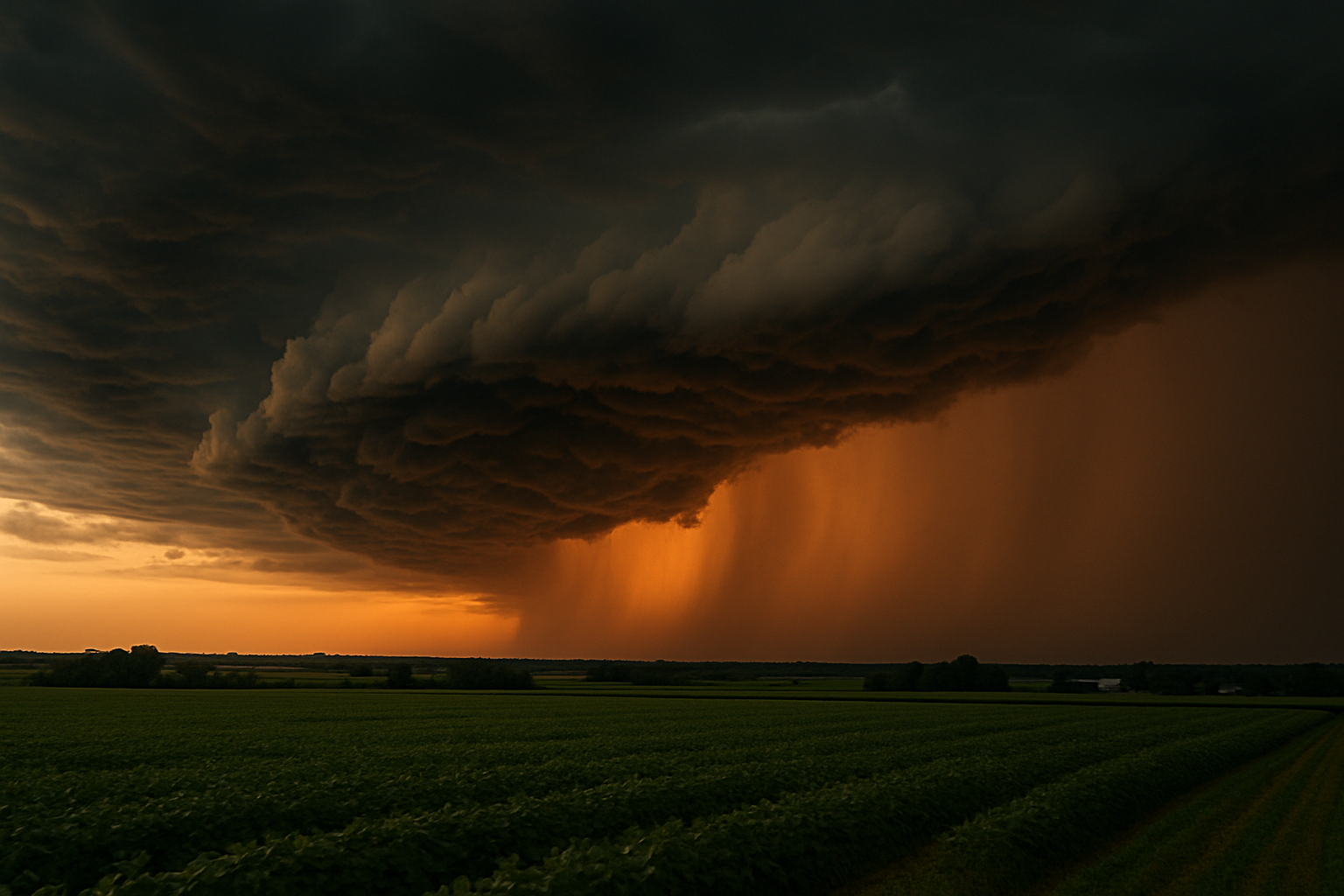
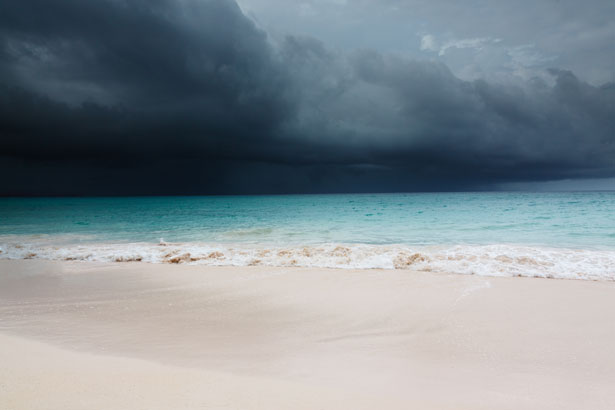
At 5:47 AM in Charleston, South Carolina, 62 year old Emmett Keller stood by his back porch, watching clouds the color of rust roll over his soybean fields. “The sky looked like it was warning us,” he said.The air was heavy and still the kind of stillness that makes you pause mid step. In a quiet corner of South Carolina, Emmett Keller stared out at the horizon where the clouds were thickening like spilled ink. It wasn’t just the sky that had shifted the entire coast felt tense. Across towns and cities, families were checking their emergency kits, neighbors were exchanging forecasts, and even the usual summer chatter had quieted down. Something was coming, and everyone could feel it.
So, what’s going on?
A tropical disturbance off the Atlantic coast has taken a sharp turn, catching meteorologists' attention. While it's not officially named yet, many coastal residents aren’t taking chances, especially those still shaken by recent hurricane seasons. Florida’s Gulf Coast, already saturated by summer rains, is prepping sandbags. In South Carolina, emergency alerts have been issued urging residents to secure loose items and stock up on essentials.
The National Hurricane Center (NHC) has not yet issued a hurricane warning, but forecasts show a 40–60% chance of tropical storm force winds in the Carolinas over the next 48 hours. For many, that’s enough to hit “refresh” on the tracker every hour.While traditional weather broadcasts still hold their place, younger audiences are turning to Google and real-time apps to stay informed. The term “hurricane tracker app” is among the top rising related searches, suggesting that people are looking for tools that update faster than cable TV.
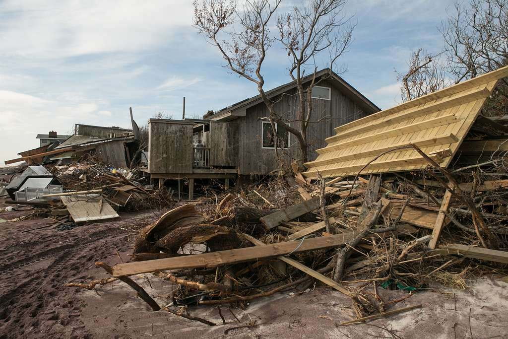
And with good reason. As Emmett put it: “Last year, we lost two weeks of crops just because we waited on a delayed update. This time, I’m trusting the internet.”
Apps like Windy, MyRadar, and even social media based storm watchers on X (formerly Twitter) are also being widely used to track storm paths and plan evacuations.
What You Can Do Now
If you're in a potentially affected area:
- Check the FEMA Hurricane Prep List
- Monitor local alerts from NWS
- Use a reliable hurricane tracker tool
- Prepare a “go bag”